Please welcome the winning pictures of Wiki Loves Earth in Morocco!
Morocco has participated in Wiki Loves Earth 2015 and around 1700+ pictures have been uploaded under creative commons license through this event. This year we received around 3 thousand photos and it’s just great! 19 are already recognized as quality images on Wikimedia Commons and more to come.
577 participants took part in the contest and almost all of them are newbies. We are happy to introduce new people into the wiki world 🙂 Lets work on using these images, we now have, in Wikipedia articles!
Ten best pictures of Morocco this year you see below. You are free to reuse them, but please mention the author and the license.
-

 Dam Moulay Youssef, Marrakech Province by Simosure, freely licensed under CC BY-SA 4.0
 -

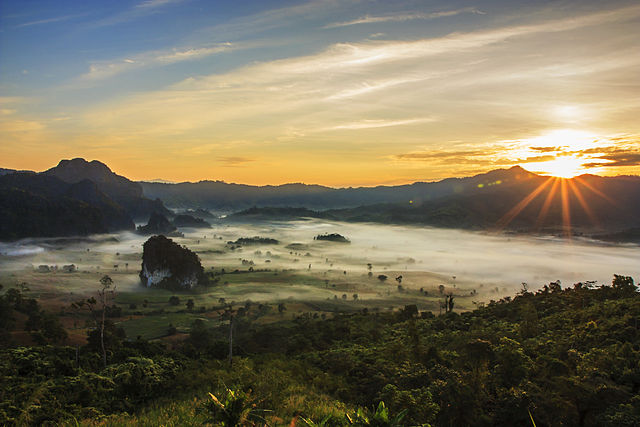
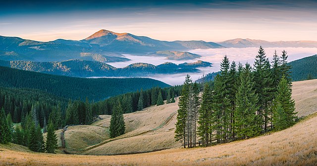
 A landscape in Morocco by Othmane.elam, freely licensed under CC BY-SA 4.0
 -

 An Addax in the station of aclimation Safia, south of Dakhla by Haytem93, freely licensed under CC BY-SA 4.0
 -

 Erg Chebbi, Merzouga by Lefidele, freely licensed under CC BY-SA 4.0
 -
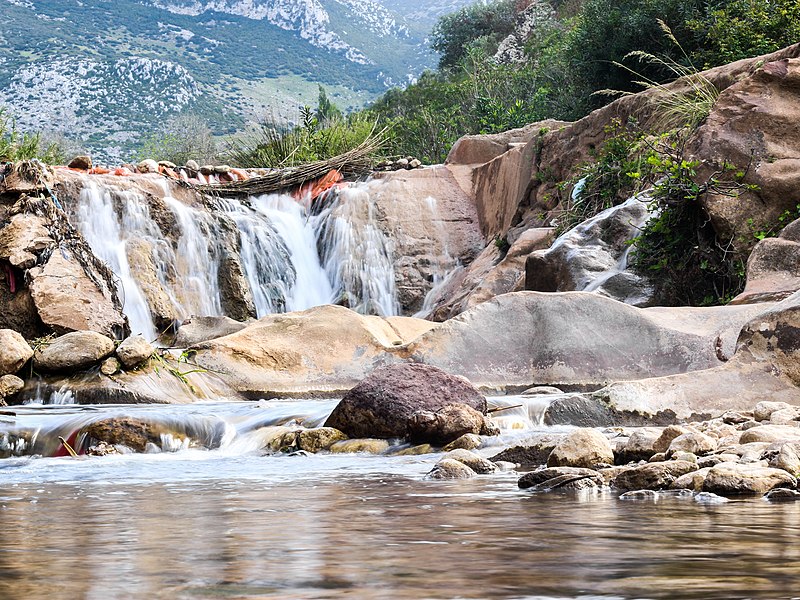
 Aïn Zarka, Tetouan Province by Mohamed Haddi, freely licensed under CC BY-SA 4.0
 -

 The Cave of the Camel, Berkane Province by Soufianerrami, freely licensed under CC BY-SA 4.0
 -

 Panorama of Djebel Toubkal by Webster93, freely licensed under CC BY-SA 4.0
 -

 Merzouga by Hzidane10, freely licensed under CC BY-SA 4.0
 -

 Barbary macaque in Azrou by Kamil-laghjichi, freely licensed under CC BY-SA 4.0
 -

 Azilal by Marahlija, freely licensed under CC BY-SA 4.0
.jpg)


.jpg)

.jpg)

_m%C3%A2le_Ichkeul.jpg)
_2.jpg)
.jpg)
_05.jpg)


.jpg)
.jpg)
.jpg)