As almost all of the participating countries have already announced their national winners (you can look at the gallery of nominated photos), so now it’s time to introduce people who will select the winning photos — the international jury!
The international jury is composed of nine people this year representing different parts of the world and having different backgrounds. What they have in common is their passion for photography and enthusiasm to select the best photos of natural monuments. Meet our jurors:
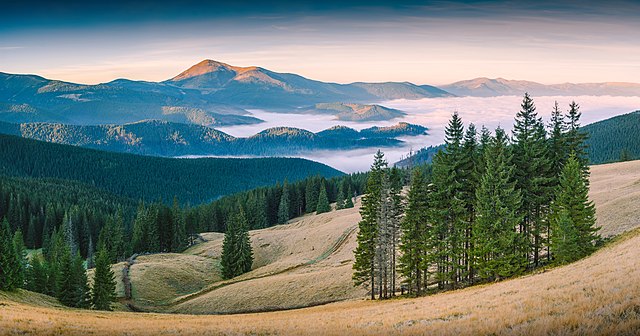
![]() Dmytro Balkhovitin, Ukraine (user:Balkhovitin)
Dmytro Balkhovitin, Ukraine (user:Balkhovitin)
Dmytro is a Wiki Loves Earth 2014 international winner, Wiki Loves Monuments in Ukraine 2013 winner, he contributes photos during the contests every year. He is a professional photographer and a winner of numerous awards in Ukraine and abroad.
Last year was also a jury member of Wiki Loves Monuments in Ukraine national photocontest. Native of Donetsk.

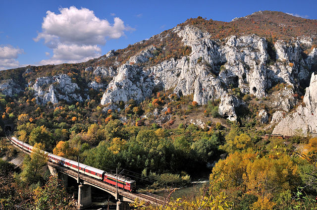
This is a featured picture and a Quality image on Wikimedia Commons, a finalist in Picture of the Year 2014.
![]() Matthew Buck, Great Britain (user:Mattbuck)
Matthew Buck, Great Britain (user:Mattbuck)
An administrator of Wikimedia Commons and a photographer. “A Commons admin of ill repute, keen photographer and train nerd. I’ve been lucky enough to be selected for the Wikimedia Ukraine jury three times now, and each time it’s been fun, if hard work“, says Matt about himself. He also says: “I honestly don’t care what you took a photo of, so long as it’s good technically (exposure, sharpness, composition, etc)“. He would like the participants of Wikili Loves Earth to take part in Quality images project on Commons.

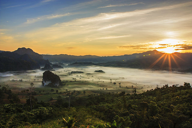
Quality image, uploaded as part of Wiki Loves Monuments 2014.
![]() Dietmar Bartz, Germany (user:Aalfons) Continue reading “Wiki Loves Earth 2015 international jury”
Dietmar Bartz, Germany (user:Aalfons) Continue reading “Wiki Loves Earth 2015 international jury”