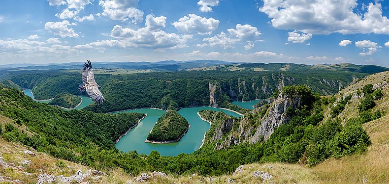
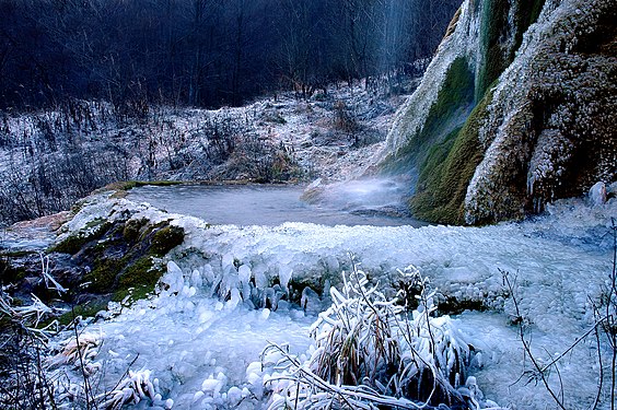
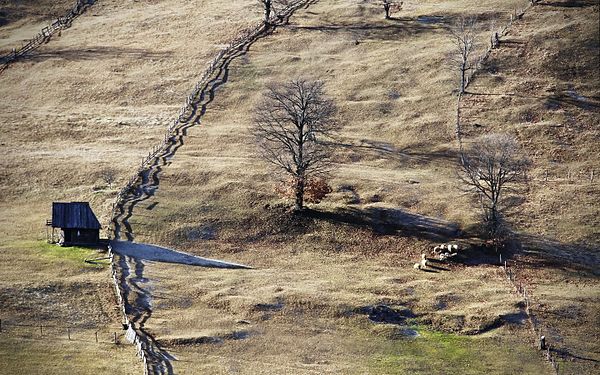
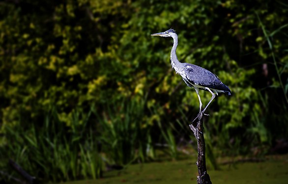
We getting closer to see winning photos of WLE 2015 and meanwhile you can check top-10 shots from Ukraine.
Carpathian Biosphere Reserve
Carpathian Biosphere Reserve (CBR) was established as a nature reserve in 1968 and became part of the World Network of Biosphere Reserves of UNESCO in 1992. It consists of six separate massifs, two botanic preserves (Chorna Hora and Yulivska Hora) and regional landscape park Stuzhytsia, with a total area of 57,880 hectares (143,000 acres). The greatest part of the reserve is covered by virgin forests.
Administratively, the biosphere reserve is located in four districts of Zakarpattia Oblast, Ukraine. It is adjacent to the Carpathian National Nature Park.
One more list of best photos came from Portugal this time. National winners were inspired with forests and mountains. Surprisingly but you will not find a lot of photos of the ocean. Enjoy!
Laurel forest
Laurel forest, also called laurisilva or laurissilva, is a type of subtropical forest found in areas with high humidity and relatively stable, mild temperatures.
The forest is characterized by broadleaf tree species with evergreen, glossy and elongated leaves, known as “laurophyll” or “lauroid”. Plants from the laurel family (Lauraceae) may or may not be present, depending on the location.
National winners of WLE Nepal showing us stunning mountain landscapes and a lot of space on their photos.
Tetang
Langtang National Park
The Langtang National Park is the fourth national park in Nepal and was established in 1976 as the first Himalayan national park. The protected area exceeds an altitudinal range of 6,450 m (21,160 ft) and covers an area of 1,710 km2 (660 sq mi) in theNuwakot, Rasuwa and Sindhulpalchok districts of the central Himalayan region encompassing 26 Village Development Committees. It is linked with the Qomolangma National Nature Preserve in Tibet. The high altitude sacred lake of Gosainkundafalls within the park. The Gosainkunda lake (4,300 m (14,100 ft)) and the Dorje Lakpa range (6,988 m (22,927 ft)) bisect the park from east–west to south–east. The summit of Langtang Lirung (7,245 m (23,770 ft)) is the highest point in the park.
The northern and eastern border of the national park coincide with the international border to Tibet. The western boundary follows the rivers Bhote Kosi and Trisuli. The southern border lies 32 km (20 mi) north of the Kathmandu Valley. Continue reading “Top-10 best photos of Nepal”
Bulgarian national team continues to acquaint us with their most active users.
We asked Spas to shortly present himself in a couple of sentences, and here is what he said:
I am interested in geography and history, love travelling and taking pictures. I’ve been editing Wikipedia since the beginning of 2008, and for the last two or three years I’ve been working on the digitalization of documents and images from Bulgarian Archives State Agency, with which Wikimedians of Bulgaria work together.
Spas, you took part in the competition with more than 250 pictures of Bulgarian nature sites. It seems you have travelled across the whole country with a backpack. Tell us more about that. Have you visited all those places with the purpose to take pictures for Wikipedia?
It seems like that, but it is not quite so. One life would not be enough to visit all those places in Bulgaria, and the world is so much bigger. During the recent years, I have combined the pleasure of travelling, experiencing and photographing. I always travel with a digital camera, but I do not think of myself as a photographer. I find it good to save what has been seen in this way. Yet, to hold these pictures only for myself is pretty egoistic. Therefore, I upload them to a safe and useful place like Wikipedia, and more exactly in the multimedia repository – Wikimedia Commons. This is the images, which are of encyclopaedic value, and which could be used for illustrating articles, of course.
You have been contributing to Wikipedia and have donated thousands of your images to Wikipedia before the contests. Why is this important for you? What motivates you to share your works under a free licence?Continue reading “WLE-2015 active users – Spas from Bulgaria”
Do you like some fantastic landscapes that look unreal? We enjoy them a lot. Brazilian team presented their Top-10 creative photos. Such a strong and clean shots will impress you a lot.
Sertão
The Sertão is one of the four sub-regions of the northeast of Brazil. Originally the term referred to the vast hinterlands of Asia and South America that Lusitanian explorers encountered. In Brazil it referred to backlands away from the Atlantic coastal regions where the Portuguese first settled in South America in the early sixteenth century. A Brazilian historian once referred to colonial life in Brazil as a “civilization of crabs”, as most settlers clung to the shoreline, with few trying to make inroads into the sertão. In modern terms, “sertão” refers to the semi-arid region inNortheastern Brazil comprising parts of the states of Alagoas, Bahia, Pernambuco, Paraíba, Rio Grande do Norte, Ceará,Maranhão, Piauí, and parts of northern Minas Gerais. The term Vaqueiro is similar to the generic use of “cowboy” in the United States.
Niterói City Park
The City Park in Niteroi is Located in an area of environmental protection The place Reserve one of the best views of Rio de Janeiro and Niteroi. From the top of the hill you can see the beaches of Niteroi (Camboinhas, Itaipu, Icarai and Jurujuba) and a spectacular view of Rio de Janeiro. If you want a little more emotion, on the Park you can jump from a gliding.
Abismo Anhumas
A cave in Bonito, Mato Grosso do Sul. This cave is equipped with a scuba diving platform and sunlight reaches down to the bottom during certain parts of the day.
Araucaria Forest
The Araucaria moist forests are a coniferous forest ecoregion of the Atlantic Forest Biome. The forest ecosystem is located in southern Brazil and northeastern Argentina. Continue reading “Top-10 best photos of Brazil”
Photographers from Andorra and Catalan speaking areas demonstrated patience and personal artistic vision on nature. Check out Top-10 best photos from Andorra and Catalan areas.
Sant Miquel del Fai
SantMiqueldelFai is a cenobitic Benedictine monastery in Bigues i Riells, Catalonia, Spain. The 11th-century building was declared a Bien de Interés Cultural landmark in 1988.
The monastery is located in a well-preserved natural environment framed by rocky cliffs called Cingles Bertí in the Catalan pre-coastal mountain range which geographically separates the region of Vallès Oriental in the subregion of Moianés. The Natural Area SantMiqueldelFai is located in the town of Bigas.
Ports de Tortosa-Beseit
Ports de Tortosa-Beseit, also known as Ports de Beseit, or simply as ElsPorts or Lo Port by locals, is a limestone mountain massif located at the north-eastern end of the Sistema Ibérico, a complex system of mountain ranges and massifs in the centre of the Iberian Peninsula. Its highest point isMont Caro, 1,441 m. Rivers such as the Matarranya and the Sénia have their source in these mountains.
Seems like WLE jury of Tunisia were inspired with wild nature selecting their Top-10 photos. This time we have a lot of photos of birds and some landscape shots. How do you feel about these photos?
The European bee-eater
The European bee-eater is a near passerine bird in the bee-eater family Meropidae. It breeds in southern Europe and in parts of north Africa and western Asia. It is strongly migratory, wintering in tropical Africa, India and Sri Lanka. This species occurs as a spring overshoot north of its range, with occasional breeding in northwest Europe.
This species, like other bee-eaters, is a richly-coloured, slender bird. It has brown and yellow upper parts, whilst the wings are green and the beak is black. It can reach a length of 27–29 cm (10.6–11.4 in), including the two elongated central tail feathers. Sexes are alike.
Djebel Zaghouan
Djebel Zaghouan is a mountain and the highest point in Eastern Tunisia at 1,295 m. The mountain is located in an area of National Park. The town ofZaghouan is located below on its northern slope. The mountain is the site of a Roman temple known as the Temple de Eaux (Temple of Water) which marks the site of an aqueduct which used to take water to the city of Carthage over 100 km away.
Uruguay presents us a lot of sand and water in their Top-10 best photos. Enjoy beautiful water landscapes and peaceful nature captured by our users.
TheUruguayRiver
The Uruguay River is a river in South America. It flows from north to south and forms parts of the boundaries of Brazil, Argentina, and Uruguay, separating some of the Argentine provinces of La Mesopotamia from the other two countries. It passes between the states of Santa Catarina and Rio Grande do Sul in Brazil; forms the eastern border of the provinces of Misiones, Corrientes, and Entre Ríos in Argentina; and makes up the western borders of the departments of Artigas, Salto, Paysandú, Río Negro, Soriano, and Colonia in Uruguay.
The river measures about 1,838 kilometres (1,142 mi) in length and starts in the Serra do Mar in Brazil, where the Canoas River and the Pelotas River are joined, at about 200 metres (660 ft) above mean sea level. In this stage the river goes through uneven, broken terrain, forming rapids and falls. Its course through Rio Grande do Sul is not navigable.
White-tufted grebe
The white-tufted grebe is a species of grebe in the family Podicipedidae. Found in the southern half of South America, its natural habitat is freshwater lakes, ponds and sluggish streams. Continue reading “Top-10 best photos of Uruguay”
Spanish national winners show great diversity of landscapes and seasons. Spanish participants of WLE have shown a big interest in the competition this year. You will find there wild nature, stunning panoramic shots, mountains, woods, rivers and waterfalls.
Spanish ibex
The Iberian ibex, Spanish ibex, Spanish wild goat, or Iberian wild goat is a species of ibex with foursubspecies. Of these, two can still be found on the Iberian Peninsula, but the remaining two are now extinct. The Portuguese subspecies became extinct in 1892 and the Pyrenean subspecies became extinct in 2000. An ongoing project to clone to the Pyrenean subspecies resulted in one clone being born alive in January 2009. This is the first taxon to become “un-extinct”, although the clone died a few minutes after birth due to physical defects in lungs.
Garajonay National Park
Garajonay National Park is located in the center and north of the island of La Gomera, one of the Canary Islands (Spain). It was declared a national park in 1981 and aWorld Heritage Site by UNESCO in 1986. It occupies 40 km2 (15 sq mi) and it extends into each of the six municipalities on the island. Continue reading “Top-10 best photos of Spain”
Bulgarian Iliana Teneva is the participant who contributed with the largest number of submissions in the Bulgarian edition of the “Wiki Loves Earth” contest in 2015. 449 out of the total number of 1617 uploads were delivered by her.
We asked Iliana to shortly present herself in a couple of sentences, and here is what she said:
My name is Iliana Teneva. As long as I remember, I have been taking photos, but a couple of years ago, I discovered that my life is complete only when I am with the camera and the backpack, heading to some new undiscovered place. Then I started reading and learning about photography, and taking photography courses. I still have lots to study, it’s a life-long learning. But my desire is to turn travel and photo shooting into my occupation and destiny.